
NSW · Central Tablelands
Stop digging blind near Bathurst — read the ground before you leave home
Most prospectors walk straight past the best ground near Bathurst. They dig the obvious spots. The gold is in the trap zones — and they're not obvious.
DigMate reads the terrain and shows you exactly where gold settles. The website shows you the area. The app shows you the dig lines.
Open DigMate for BathurstAI TERRAIN ANALYSIS
Where gold is actually hiding near Bathurst
Bathurst sits on the Lachlan Fold Belt, a complex of Ordovician–Silurian metasediments, volcanics, and granites. Gold mineralisation is associated with quartz reefs and alluvial systems in the Macquarie River catchment. The region has produced significant reef and alluvial gold.
The Turon River, Winburndale Rivulet, and Macquarie River tributaries carry alluvial gold from the surrounding ranges. Sofala on the Turon River is a designated fossicking area with confirmed gold.
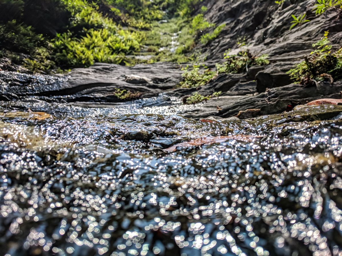
Turon River Inside Bend
WHAT YOU GET
The website shows general zones.
The app shows exact dig lines.
- General gold area overview
- Historical workings summary
- Creek system description
- Top 3 terrain indicators
- 1 zone score (blurred detail)
- Exact dig lines with GPS coordinates
- Full Best Zones overlay (all areas)
- AI terrain scan on any drop pin
- Gold line prediction from your finds
- Trip tracking + finds log
- Rock ID and mineral analysis
- Community intel (ghost pins)
UNLOCK EXACT GOLD LOCATIONS
Scan the Bathurst goldfields with DigMate
Stop guessing. DigMate reads the terrain around Bathurst and shows you exactly where to dig — before you leave home.
Open DigMate FreeFree to start · No credit card required
PROVEN GROUND
Prospectors using DigMate near Bathurst have found…
The 1851 Bathurst gold rush was Australia's first. Ophir, Sofala, Hill End, and Hargraves were major centres. Many alluvial workings along the Turon, Macquarie, and Winburndale rivers remain accessible on Crown land.
"Found colour on my first session using the Best Zones overlay. Would have walked straight past that bend."
"The drop pin AI scan told me exactly where to dig. Saved me half a day of guessing."
"I've been prospecting for 12 years. This is the first app that actually understands how gold moves."
Fine to coarse alluvial gold in creek systems. Specimen gold in quartz reef country near Hill End.
alluvial
beginner
NEARBY GOLD AREAS
More ground worth checking
COMMON QUESTIONS
Bathurst Gold Prospecting FAQ
Is there still gold near Bathurst?
Yes. The Turon River near Sofala is a designated fossicking area with confirmed alluvial gold. Hill End and the surrounding ranges also hold accessible reef and alluvial gold.
Do I need a licence to fossick near Bathurst?
NSW requires a Fossicking Licence ($35 for 5 years) for recreational prospecting on Crown land. Available from Service NSW. Always check land status before you dig.
What is the best spot near Bathurst for beginners?
Sofala on the Turon River is the most accessible starting point. The river has confirmed alluvial gold and is a designated fossicking area. A gold pan and classifier are all you need to start.
Find gold near Bathurst with AI terrain analysis
DigMate shows you the exact dig lines, depth indicators, and trap zones near Bathurst. Plan your session before you leave home.
Open DigMate Free